
Municipal fragmentation and metropolitan open space patterns
Published in Urban Affairs Review, 2026 · Download PDF
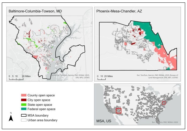
Municipal fragmentation is a defining feature of U.S. metropolitan governance, yet its implications for open space provision remain theoretically contested. Drawing on public choice theory and regional governance perspectives, this study examines how fragmented governance shapes the amount, size, and accessibility of metropolitan open space. Using the Trust for Public Land’s ParkServe dataset and measures of local government fragmentation across U.S. metropolitan statistical areas, we estimate ordinary least squares and instrumental variable two-stage least squares models.
The results show that greater municipal fragmentation is associated with increased provision of small and medium-sized parks and higher accessibility, measured as the share of residents living within a 10-minute walk of open space. However, fragmentation is negatively associated with the provision of larger parks, with a threshold of approximately 10 acres marking the transition. These findings reconcile competing theories by demonstrating that public choice dynamics promote localized neighborhood amenities while limiting the coordinated preservation of regionally significant open spaces, with important implications for metropolitan planning and environmental equity.
Keywords: metropolitan governance; municipal fragmentation; open space provision
Recommended citation: Schmidt, S., & Li, W. (2026). Municipal fragmentation and metropolitan open space patterns. Urban Affairs Review. Advance online publication.